
マップ上の半径 + : 円を描くためのシンプルなツール
TappiApps
App Store 評価: ★ 5.0 (1件)
- 対応
- iOS
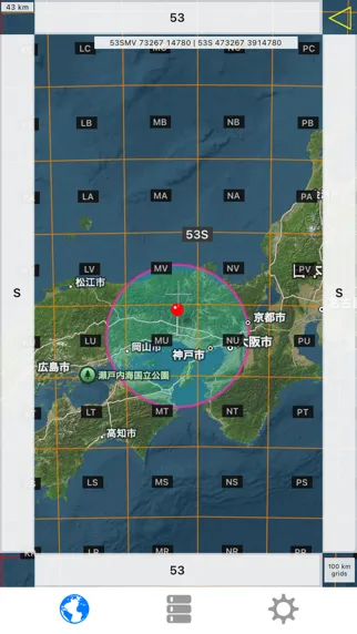
どんなアプリ?
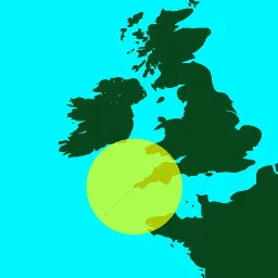
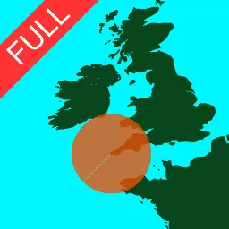
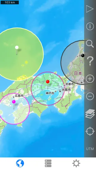
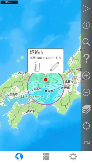
地図上に簡単に半径を作成し、どのブラウザでも表示できる電子メールまたはテキストメッセージで半径を示すURLを共有します。 フルバージョンはリーズナブルな価格で1回限りの購入です。 定期的な「サブスクリプション」はありません。
App Store の説明を全文読む
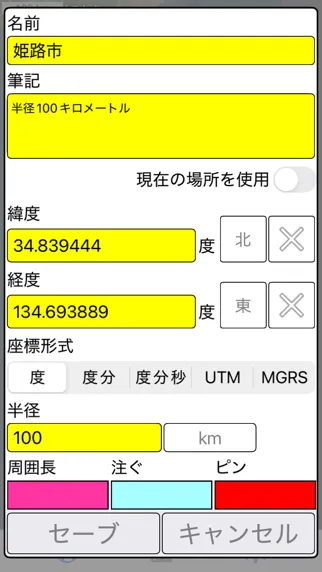
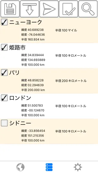
地図上に簡単に半径を作成し、どのブラウザでも表示できる電子メールまたはテキストメッセージで半径を示すURLを共有します。 フルバージョンはリーズナブルな価格で1回限りの購入です。 定期的な「サブスクリプション」はありません。 フルバージョンの追加機能は次のとおりです。 - 横方向とiPadの分割画面のサポート。 - 1つのURLで複数の半径を共有します。 - 半径の中心を現在の位置にロックします。 - ポリゴンとして保存された半径を .kml または .kmz ファイルにインポートします。 iCloudやDropboxなどのクラウドサービスからファイルをインポートできます。 - 半径を kml ファイルに保存されたポリゴンとしてエクスポートし、Google Earth™ やその他のマッピング アプリケーションで表示します。 .kml ファイルをメールに添付したり、iCloud、Dropbox などに保存したりできます。 - リストビューで選択して、マップ上に表示する半径を指定する機能。 - 名前やメモのフィールドでキーワードを検索して、保存されている特定の半径を見つけます。 - カスタムメッセージのヘッダーとフッター。 - 広告なし 各半径のプロパティ: - 中心座標 - 半径 - 塗りつぶしの色と不透明度 - 周囲の色と不透明度 - 名前 - メモ(オプション) 座標形式には、次のものがあります。 - 度 - 度、分 - 度、分、秒 - UTM(ユニバーサル横メルカトル) - MGRS(ミリタリーグリッド参照システム) 距離の単位には、次のものが含まれます。 - キロ - マイル - 海里 - メートル - ヤード - フィート 衛星地図を読み込むには、インターネット接続が必要です。 使用されるデータムはWGS-84です。 詳しくはサポートページをご覧ください。 English: Easily make a radius on a map and share a url showing the radius via email or text message that can be viewed with any browser. The full version is a one-time purchase at a reasonable price. There is no recurring 'subscription' . Extra functionality of the full version includes: - Support for landscape and iPad split screen. - Share multiple radii in one url. - Lock a radius center to your current location. - Import radii stored as polygons in a .kml or .kmz file. You can import a file from a cloud service such as iCloud or Dropbox. - Export your radii as polygons saved to a kml file to view in Google Earth™ or other mapping applications. You can attach the .kml file to an email or save to iCloud, Dropbox, etc. - Ability to specify which radii show on the map by selecting them in the list view. - Search for keywords in name and/or notes field to find a specific saved radius. - Custom message header and footer. - No adverts Properties for each radius: - Center coordinate - Radius - Fill color and opacity - Perimeter color and opacity - Name - Notes (optional) Coordinate formats include: - Degrees - Degrees, Minutes - Degrees, Minutes, Seconds - UTM (Universal Transverse Mercator) - MGRS (Military Grid Reference System) Distance units include: - Kilometers - Miles - Nautical miles - Meters - Yards - Feet Loading satellite maps requires an internet connection. Datum used is WGS-84. Please visit the support page for more details.
編集部 PICK UP
Nib
聞き取れるメモ帳。録音すると AI が議事録・要約・次の一手に整えてくれる。
情報
- バージョン
- 2.9
- 最終更新
- 2025/10/06
- リリース
- 2015/05/31
- サイズ
- 5.0 MB
- 必要環境
- iOS 9.0 以降
- 対象年齢
- 4+
- 対応言語
- 日本語、AR、BG、CS ほか32言語
最新バージョンの更新内容
- 新しいデバイスとオペレーティング システムのサポートが強化されました。 - 横向きと分割画面のサポートが改善されました。 - マイナーなバグ修正とUIの調整。 English: - Better support for newer devices and operating systems. - Improved support for landscape and splitscreen. - Minor bug fixes and UI tweaks.